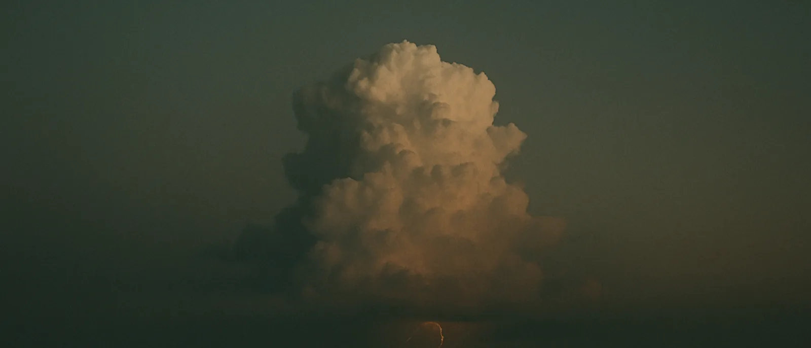
This entry examines Surah an-Nur 24:43, which describes clouds being driven, joined and heaped into a mass that releases rain, and hail sent down from "mountains" in the sky, and whether the staged sequence aligns with the meteorology of convective storms.
The source text
أَلَمْ تَرَ أَنَّ ٱللَّهَ يُزْجِى سَحَابًا ثُمَّ يُؤَلِّفُ بَيْنَهُۥ ثُمَّ يَجْعَلُهُۥ رُكَامًا فَتَرَى ٱلْوَدْقَ يَخْرُجُ مِنْ خِلَـٰلِهِۦ وَيُنَزِّلُ مِنَ ٱلسَّمَآءِ مِن جِبَالٍ فِيهَا مِنۢ بَرَدٍ فَيُصِيبُ بِهِۦ مَن يَشَآءُ وَيَصْرِفُهُۥ عَن مَّن يَشَآءُ ۖ يَكَادُ سَنَا بَرْقِهِۦ يَذْهَبُ بِٱلْأَبْصَـٰرِ
“Do you not see that Allah drives clouds? Then He brings them together, then He makes them into a mass, and you see the rain emerge from within it. And He sends down from the sky, mountains [of clouds] within which is hail, and He strikes with it whom He wills and averts it from whom He wills. The flash of its lightning almost takes away the eyesight.”
Qur'an 24:43 · Saheeh International
What was understood in the seventh century
People in seventh-century Arabia observed clouds driven by wind, gathering, thickening and releasing rain, hail and lightning. The verse follows this sequence closely: God "drives clouds, then brings them together, then makes them into a mass," from which "the rain emerges," and it likens the towering storm clouds that carry hail to "mountains" in the sky. The comparison would have been natural to anyone who had watched a great cloud build overhead before a storm.
What was not available was any meteorological account of the processes involved. The role of convective updrafts, the growth of clouds by the coalescence of droplets, and the way hail forms high within a cloud were all unknown. The verse presents the stages as they appear to an observer, in order, without proposing a mechanism, and closes on the lightning whose "flash almost takes away the eyesight." Why the joined and heaped cloud should yield rain and hail, and how the hail is carried to the height at which it forms, were questions the period had no means to answer.
The modern correspondence
Modern meteorology describes how winds drive and merge cumulus clouds that build vertically into towering cumulonimbus, storm clouds that can reach mountain-like heights of many kilometres. The staged growth, from drifting cloud to merged cloud to a heaped vertical mass, corresponds to the development of a convective storm cell, in which rising warm, moist air cools and condenses, releasing heat that drives the cloud still higher until it flattens into the familiar anvil top.
Hail forms within these tall clouds as strong updrafts carry water droplets high enough to freeze, then cycle them so that successive layers of ice accrete before the stones grow heavy enough to fall to the ground. Such clouds also generate the lightning the verse notes, produced by the separation of electric charge within the turbulent, ice-laden cloud.
The sequence the verse describes, driving, joining, heaping into a mass, then rain and hail from mountainous clouds, parallels the modern account of convective storm development characterised in the nineteenth and twentieth centuries. The likeness of a cumulonimbus tower to a mountain is more than metaphor in one respect: the largest reach heights comparable to the tallest terrestrial mountains. The references below document cumulonimbus clouds and the basic cloud types; commentators note the ordered match between the verse's stages and this account.
Considerations and counterpoints
Skeptics note that clouds gathering, thickening and dropping rain, hail and lightning are directly observable, and that comparing large storm clouds to mountains is a natural metaphor rather than a technical claim. Some also read "mountains in the sky" as referring literally to mountains rather than to clouds, which would weaken the meteorological reading, and argue that the correspondence to cumulonimbus dynamics is read in after the fact. The tier assigned here reflects that the staged description aligns well with convective meteorology while remaining broadly observational.
Credibility rating: Tier 2 · Interpretive — Authentic clear text whose staged description of cloud growth and hail from towering 'mountains' of cloud aligns well with convective meteorology, though the imagery is also broadly observational.